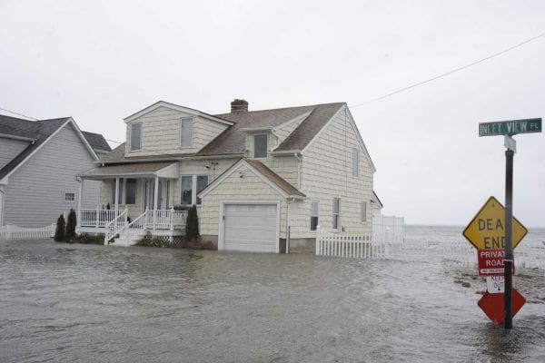
As the United States grows warmer and extreme weather more common, the federal government’s flood insurance maps are becoming increasingly important.
The maps, drawn by the Federal Emergency Management Agency, dictate the monthly premiums millions of American households pay for flood insurance. They are also designed to give homeowners and buyers the latest understanding of how likely their communities are to flood.
The government’s response to the rising need for accurate maps? It’s slashed funding for them.
Congress has cut funding for updating flood maps by more than half since 2010, from $221 million down to $100 million this year. And the president’s latest budget request would slash funding for mapping even further to $84 million — a drop of 62 percent over the last four years.
In a little-noticed written response to questions from a congressional hearing, FEMA estimated the cuts would delay its map program by three to five years. The program “will continue to make progress, but more homeowners will rely on flood hazard maps that are not current,” FEMA wrote.
The cuts have slowed efforts to update flood maps across the country.
In New England, for instance, FEMA is updating coastal maps but has put off updating many flood maps along the region’s rivers, said Kerry Bogdan, a senior engineer with FEMA’s floodplain mapping program in Boston.
“Unfortunately, without the money to do it, we’re limited and our hands are kind of tied,” she said.
Many of the flood maps in Vermont — including areas near Lake Champlain that have recently flooded — are decades out of date. “There are definitely communities that really need that data,” said Ned Swanberg, the flood hazard mapping coordinator with Vermont’s Department of Environmental Conservation.
Asked about the cuts, a spokesman for the White House’s Office of Management of Budget directed to us FEMA, which did not respond to our requests for comment.
New maps can guide development toward areas that are less likely to flood. They also tend to be far more accurate. Today’s mapmakers can take advantage of technologies including lidar, or laser radar, and ADCIRC, a computer program that’s used to model hurricane storm surge. They can also incorporate more years of flooding data into their models.
“It is disconcerting to have counties and areas where people still have maps from the 1970s,” said Suzanne Jiwani, a floodplain mapping engineer with Minnesota’s Department of Natural Resources.
The slashed funding for the mapping program hasn’t gone unnoticed in Congress.
Read more here.
